Arches National Park, UT

… more pix n videos on Google Maps, FB, fb2, & TA
This national park has many arches :-), trails, and more.
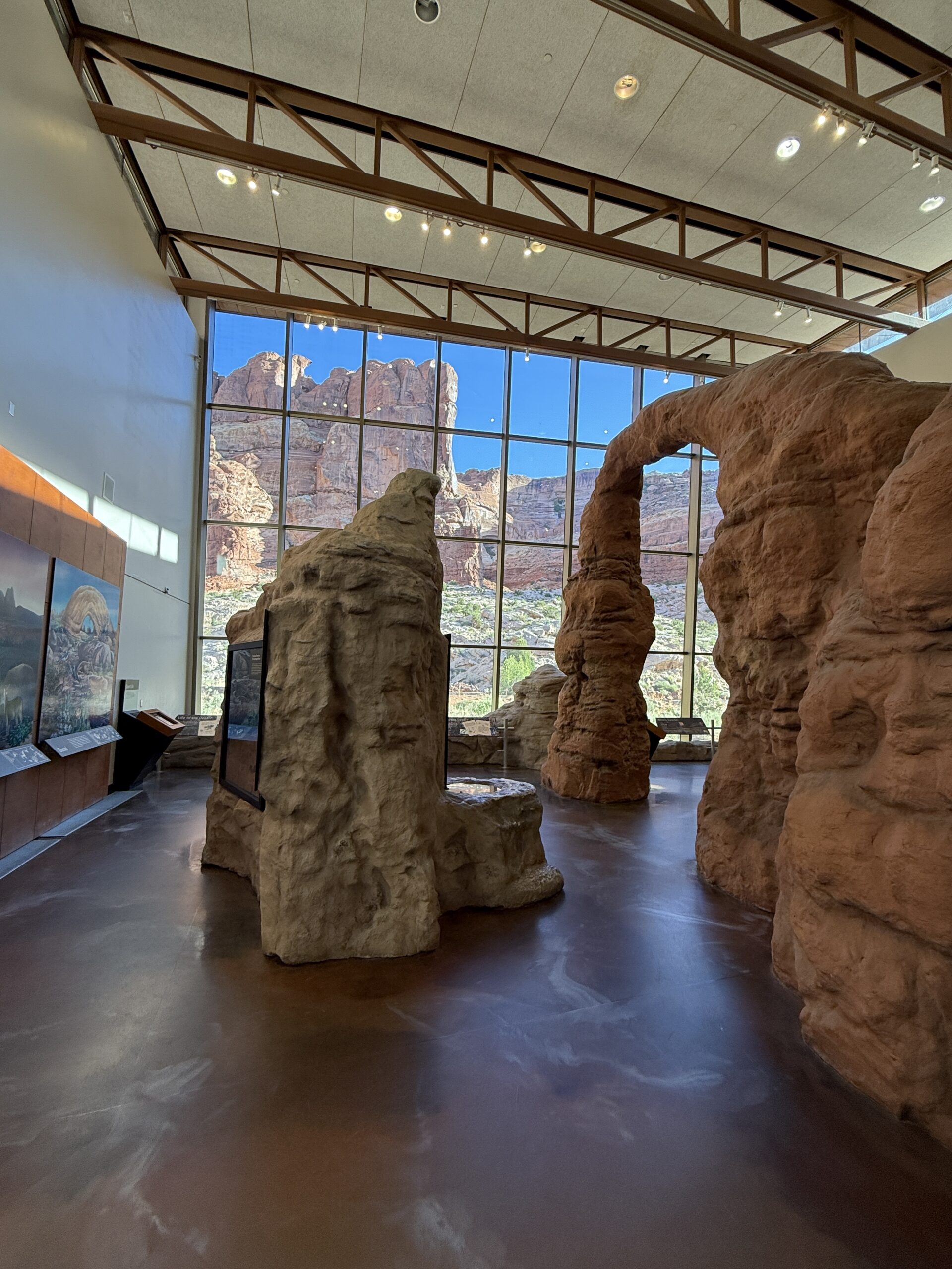
The info center is also the park’s HQ at the southernmost, in an awesome setting; elevation 4,085 ft (1,245m).
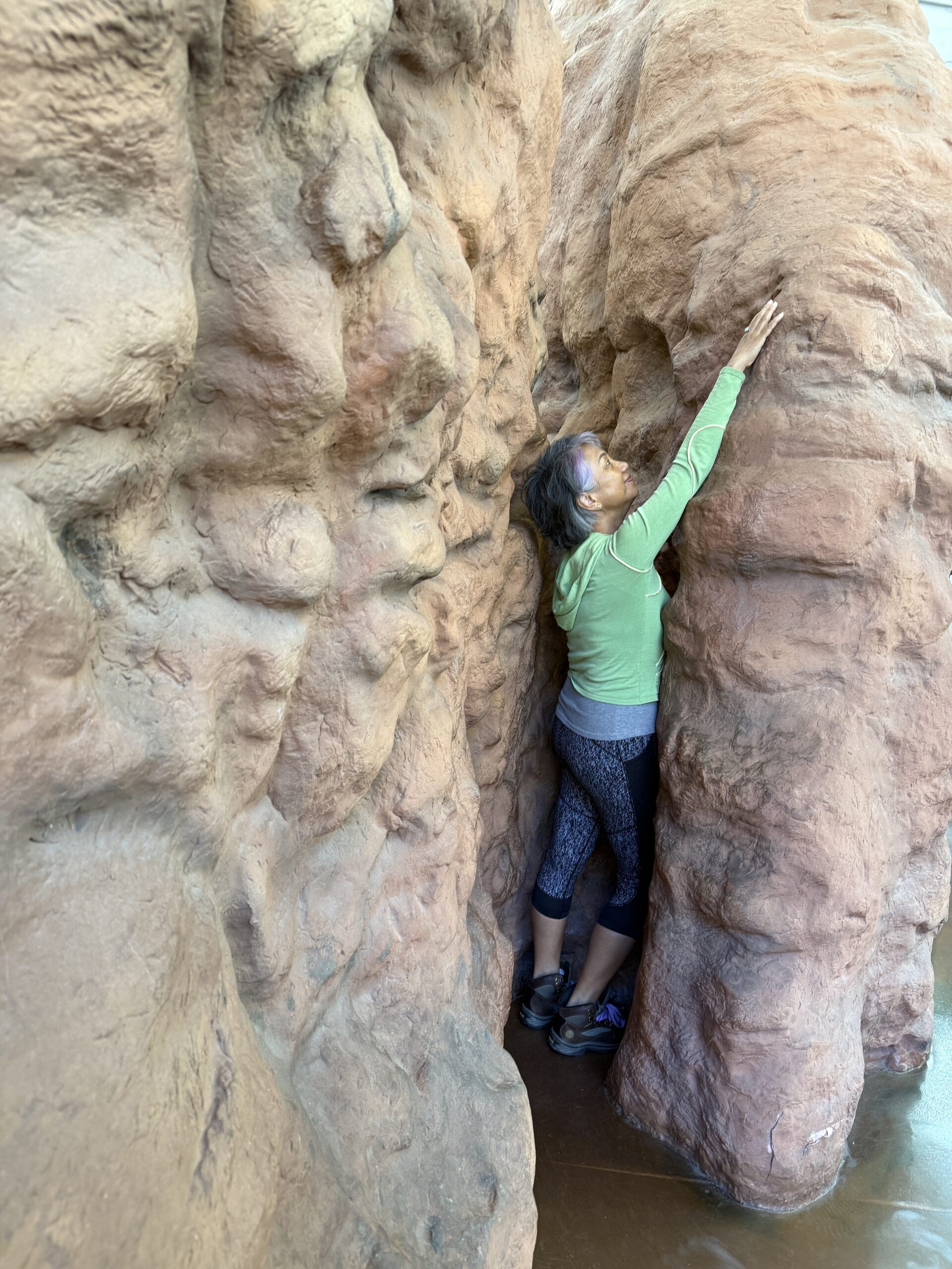
Many great places for yoga!
The planned itinerary is to visit Balanced Rock first after the Info Centre, but due to a lack of parking (a few mini buses are parking on tour buses’ spots, which is wrong. There is a Chinese minibus that consistently parks in the tour bus spot. To save time and avoid crowds and heat, Eric decided to take us to Park Ave instead, and visit Balanced Rock on the way out, which we did, at noon, when the natural light is far less ideal – unforgiving for photography.
Our day starts at 7:30. The drive to the visitor center is 10 minutes from our hotel. We made a few stops:
- Info Center, with short movie, 7:50-8:25
- Park Avenue & Courthouse Towers viewpoint 8:48-:55
- Double Arch 9:15-10:50
- Delicate Arch
- Windows
- Delicate Arch viewpoint
- yoga
- Balanced Rock
Stop 1: The Information Center: south most

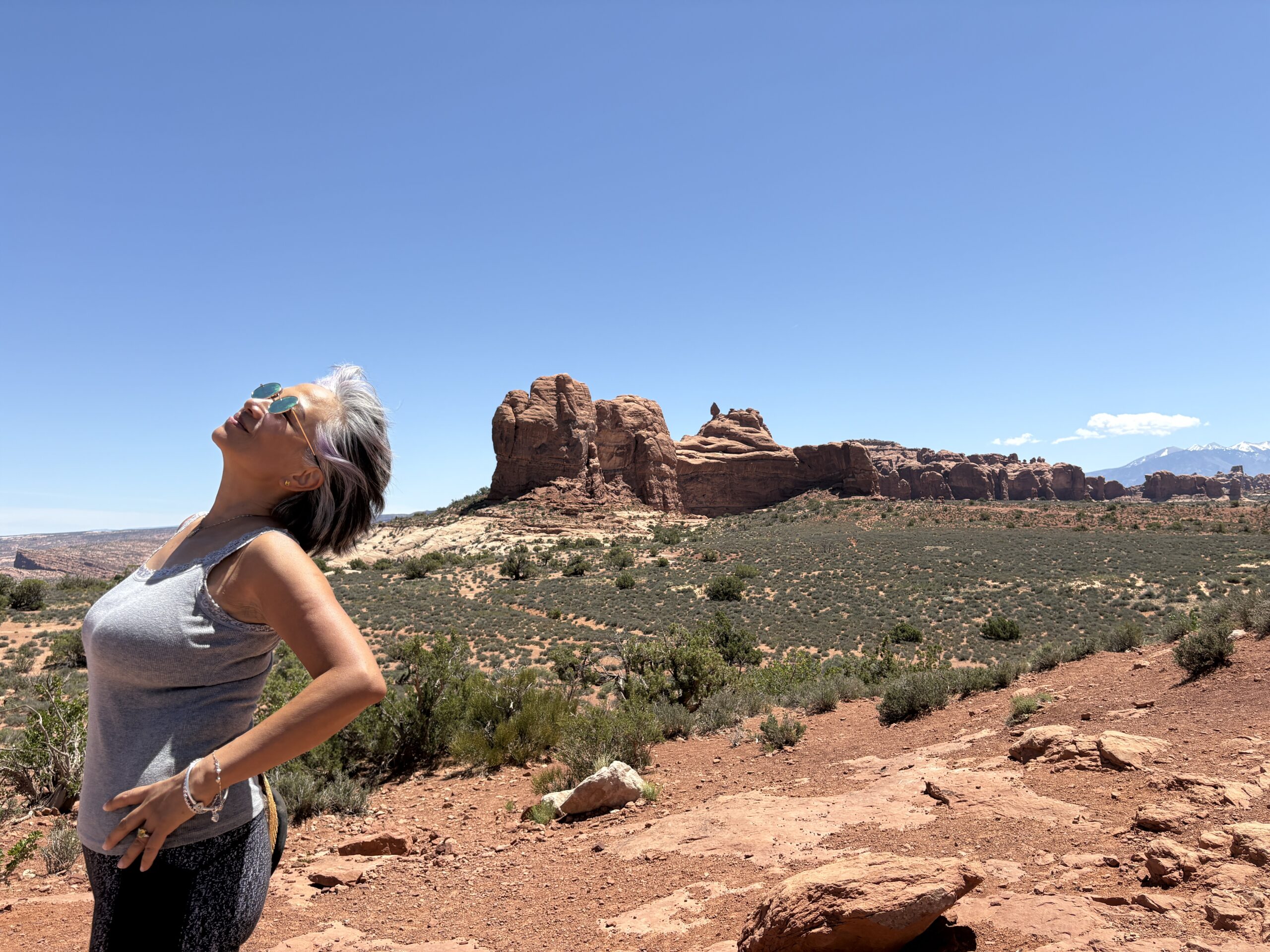
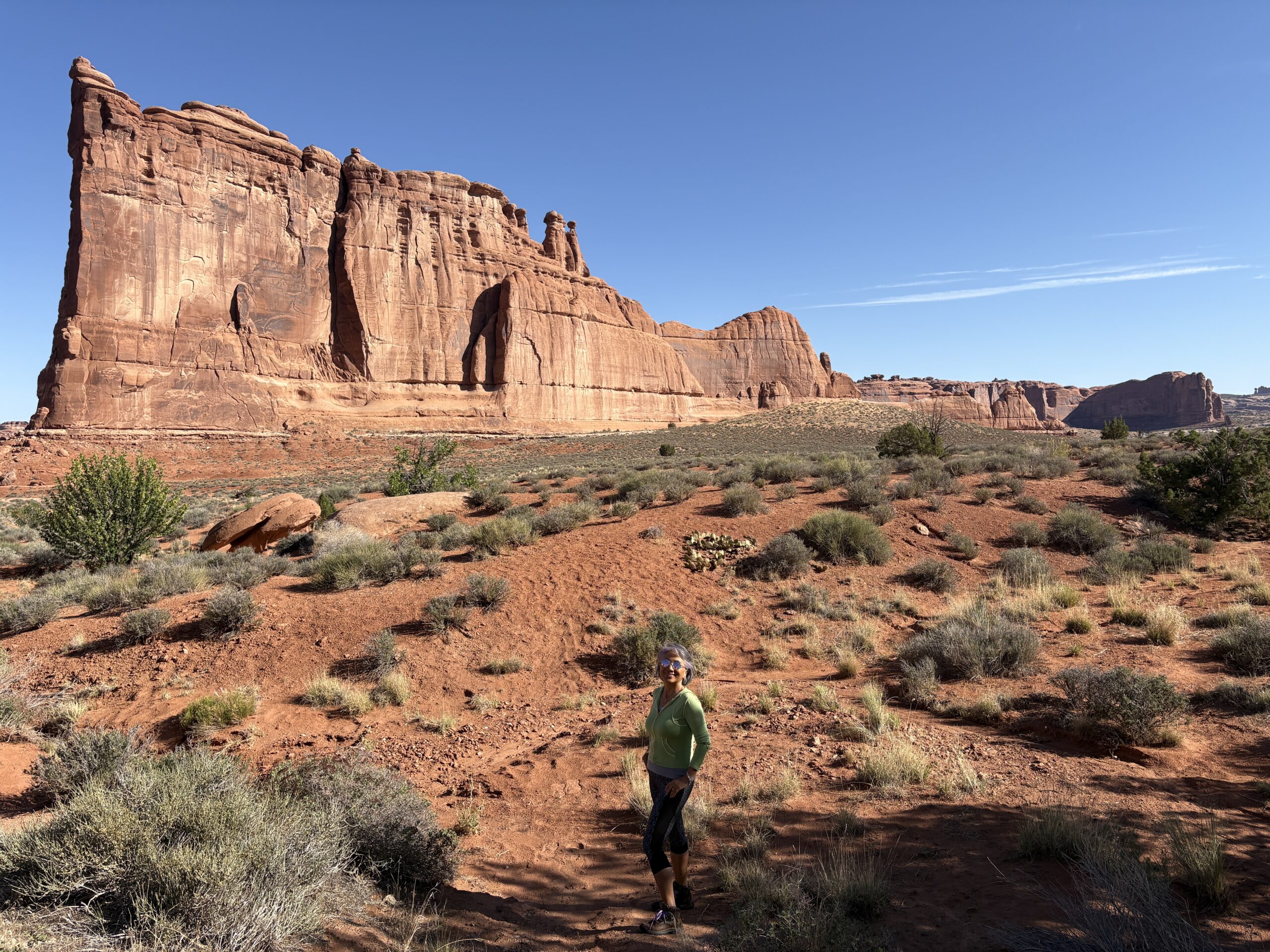
Stop 2: Park Avenue & Courthouse Towers viewpoint (nps): western side
The Organ, Three Gossips, Park Avenue, Courthouse Towers (wiki), Queen Victoria, Sausage Rock, Queen Nefertiti (wiki), etc., are the first major group of rocks after entering the park gate. We stayed at the viewpoint for 10 minutes.
- Three Gossips (wiki)
- The Organ (wiki)
- Park Avenue all & more v
- 0:39 videos
- Inside the bus, from Park Avenue to

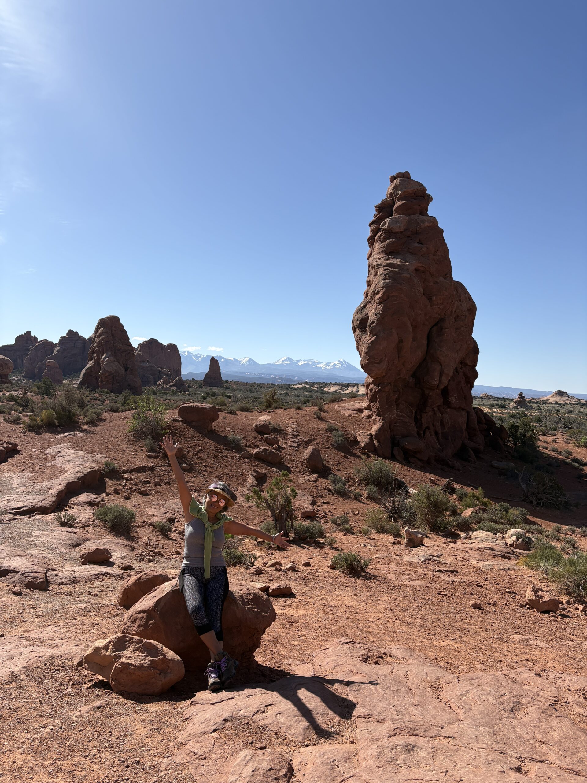
Stop #3: Double Arch nps/wiki 9:15-10:50
Double Arch is in the Windows section (nps), which includes North Window, Turret Arch, and Double Arch.
At the parking lot, we see the same Chinese minibus again, and it is parked in the tour bus spot.
The little hike that crosses the two-lane road, that separates Turret Arch, Buccaneer Rock, Windows (nps; North & South [?], yoga), from the Double Arch. There are many greens and flowers along the path.
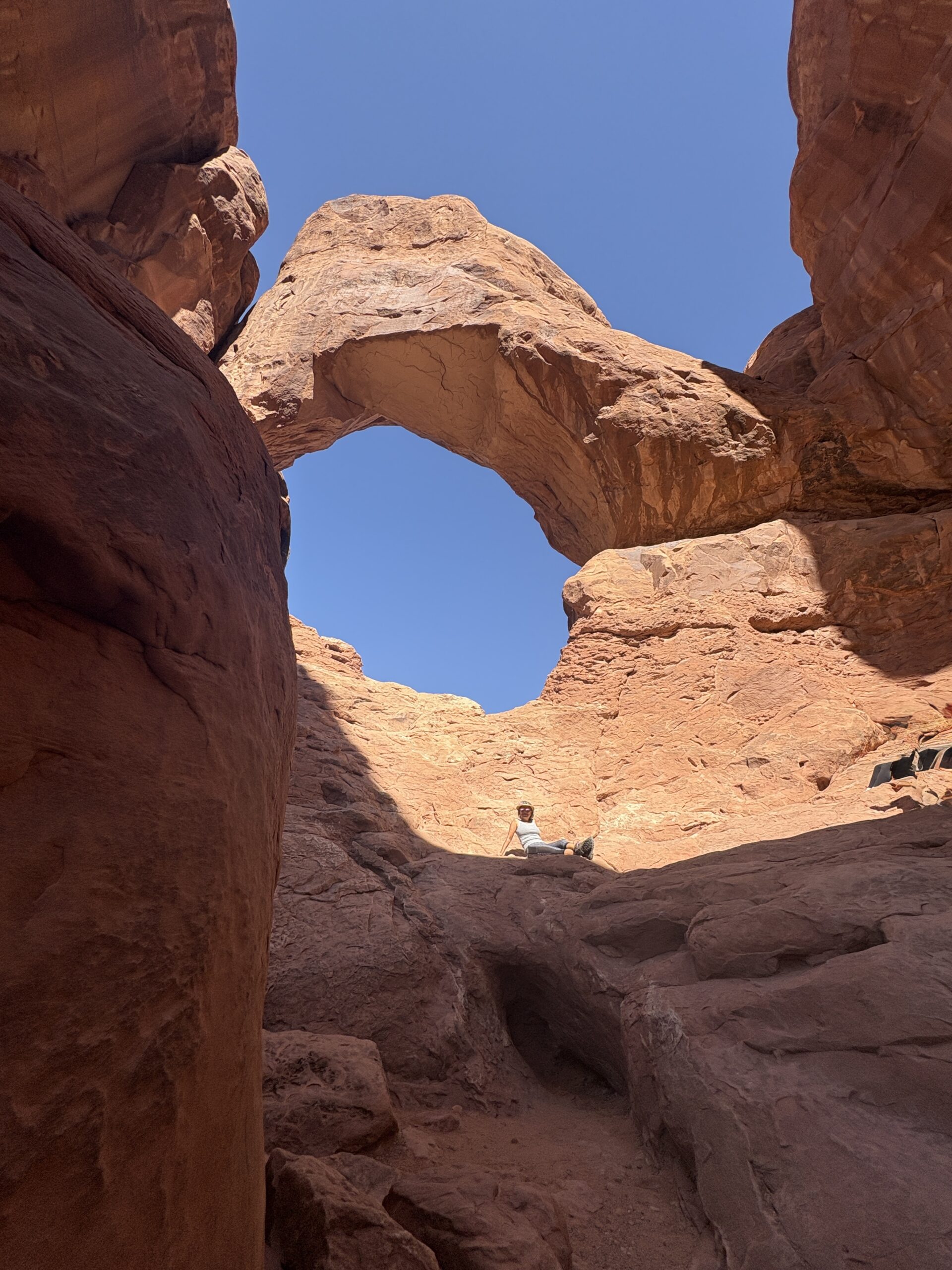
The Double Arch (nps/wiki) is one of the major sites in the park, better known for appearing briefly in Harrison Ford’s Indiana Jones and the Last Crusade.
The Double Arch is are pothole arch, formed by water erosion from above rather than more typical erosion from the side. Its formation is different from most of the arches in the park. I climbed halfway to the top opening.


- Turret Arch: 0:59″ and more
- flowers
- Double Arch & more
Stop #4 Delicate Arch, Green Rock
… more pix & videos on Google Maps, Yelp, TA
Delicate Arch is the face of this national park, maybe for the entire park service, Moab, UT, and even the American West. The first known photo of this arch was taken in 1906. It appeared in LIFE magazine in 1953.
We climbed up to the top of the hill, which is opposite the arch.
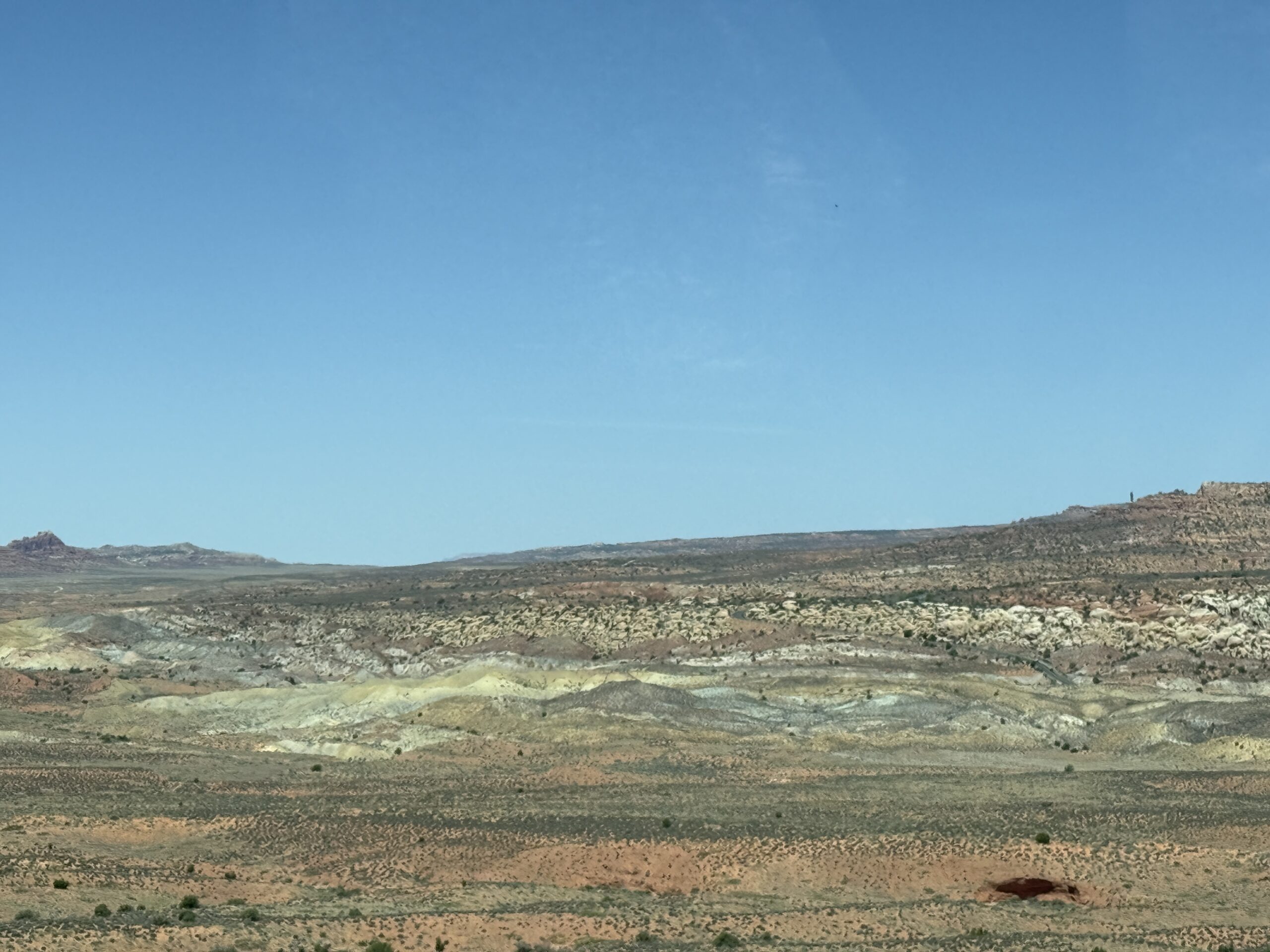
The Green Rock nearby signifies the change of time. The green sediments come from a humid era in Archer’s Jurassic past, which included braided rivers, floodplains, and a nearby volcano. Volcanic ash full of iron settled atop clay, silt, and other sediments here.


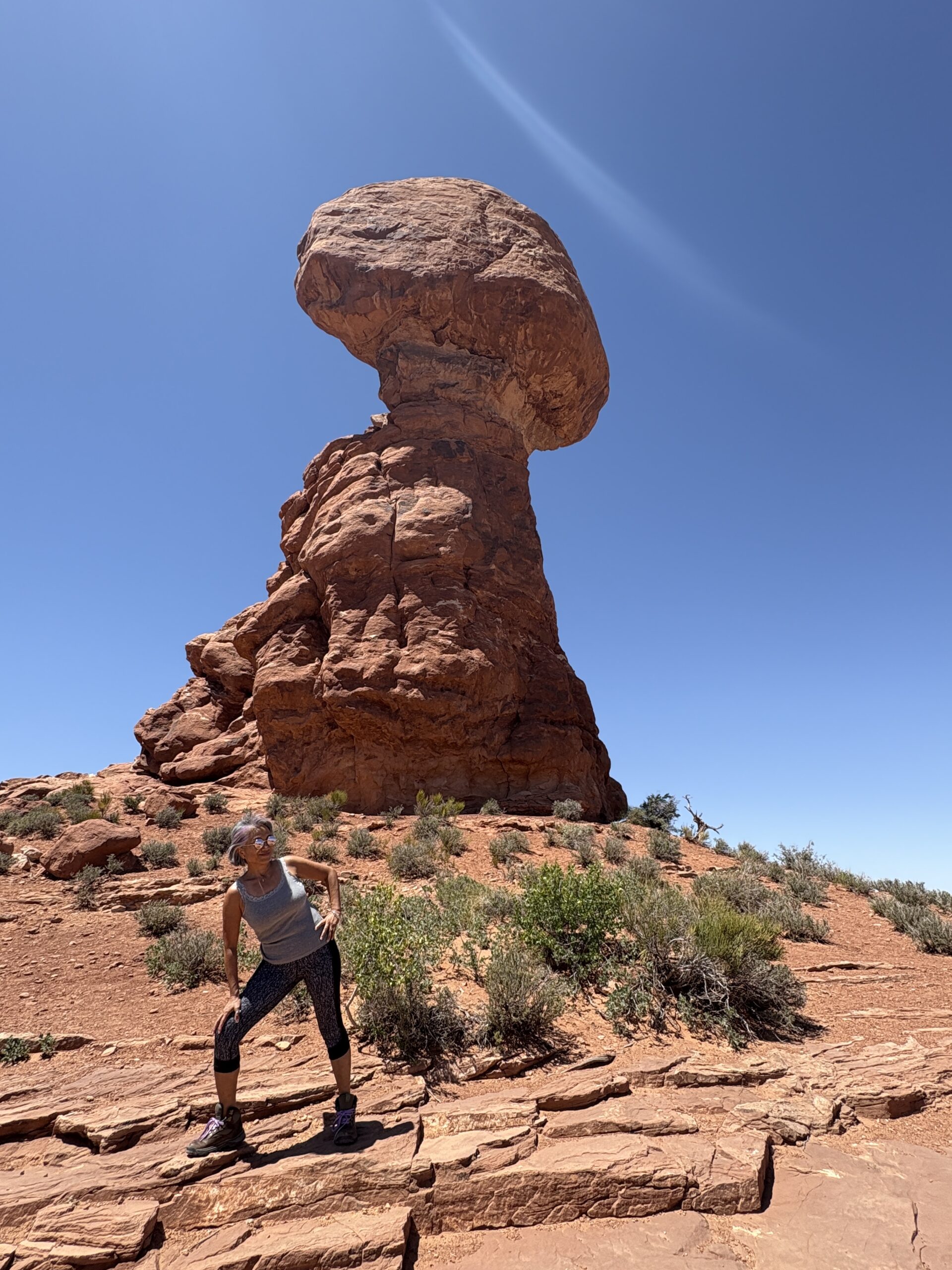
Stop #5 Balanced Rock
… more pix & videos on Google Maps, Yelp, TA
It is the last stop in the park. We initially planned to visit here first, but were unable to find parking. By now, the noon sunlight is unforgiving for photography than at 8 am, but the tenterhook rock (on every side!) and other rocks, and thrilling landscapes more than made up for it.
The mostly paved 0.25-mile loop trail is an easy walk. There is a picnic area with a bathroom in the opposite direction, which I didn’t go to.